Canadian - Alaskan Adventure!
Small update made on 11/29 to 7/9. Still a ways to go! Click here to jump to it.
Ready to go! Last look before we close the doors in the Event Wave parking lot and head north.
Megan, Scout, and I have begun our adventure! We left San Diego in the first few days of May after completing the last few projects and packing up what we hoped to be everything we might need for the three of us. The first stop was in San Louis Obispo for some hikes, viewpoints, and a bit of maintenance and provisioning.
Scout, with a rainy view over Cave Landing in Avila Beach, CA.
Looking back to Avila Beach and Port San Luis
Cave Landing has been one of our favorite places to visit on the Central Coast. This visit we found the parking lot had been graded and a huge drainage system installed. It even has a sign at the entrance now!
We moved on rather directly to Seattle from here, knowing we plan to spend time on the US coast on our way back. We needed time in Seattle, as well as a little time getting there, to make sure we were as prepared as we could be for the travels ahead. While in Seattle, we did 4 dives with Seattle Dive Tours, hiked to Goldmyer hot springs, biked a Bainbridge Island loop, provisioned, organized the van, and reorganized much of it again. Thanks To Pam and Chris for all the help and space to do this!
The van on the little grass patch at the bottom of Chris and Pam’s garden in Seattle, WA.
There is no good time to note this, but our blind spot assist feature seems to be inoperable. We haven’t driven the van much in Seattle, so it slips our mind easily. While it is admittedly a luxury safety feature, it is a safety feature, and all the more important when you come to rely on it as we inadvertently have.
Scout exploring her ever changing territory.
Chris and Pam have a little pad at the bottom of their garden that is perfect to park the van on. Scout loves investigating everything around the van. Depending where we are we decide whether she is leashed or not, but never out of imediate view. She is very well behaved and always runs back to the van if scared, but if thats across a road, she’s leashed. And in parks where that is a requirement, of course!
Left to Right: Michael, Drew (Guide), Mike (Me), Megan at Seacrest Cove 2 with the Space Needle in the background.
Diving in Seattle was excellent. It had been quite a while for both of us, so we wanted to get some dives in with a company we love diving with before heading north where we plan to do more dives. The first dive after a month or more is tough. So much of the muscle memory is gone, it comes back quickly, but especially at these times, it’s so appreciated to have folks like Drew (Second from left) and Brent (taking the photo) looking after us.
Time for a hike! The whole while we lived in Seattle, folks told us we needed to check out Goldmyer Hotsprings, but we never did. We now regret that! It is a lovely 5 mile hike each way at the end of a relatively rough but manageable road. The springs flow out of the cave that has been dammed up and cascades to two lower pools of decreasing temperature. On the far side is a cold plunge pool fed from the river 30 or so feet away.
From Seattle we headed to Banff, Alberta and the surrounding area for hiking and as it turned out a lot more biking! We had made a plan to get to Calgary to get the Blind spot monitor issue resolved, but shortly after crossing the Canadian border, it decided to start working, haven’t had an issue since! We are pretty stoked to not have to detour into the city. There are trails everywhere, from camp to town, to all the little lookout spots, we explored a good few of them. Campsites are mandatory and the bookings looked slim, so we booked what we could while in Seattle and changed the plan from there. We started with one night in Lake Louise, then two nights in Banff and two nights in Jasper.
On our way to Lake Louise we had one night of wild camping (aka, FREE!). We found a lovely spot on the river with a very quiet neighbor. In the morning it was a short hike to Wapta falls.
Wapta Falls
Lake Louise, in the two photos above, was mostly frozen, but had a few liquid areas brimming with color that doesn’t come through well on camera.
Below was in Banff, Quite possibly our favorite area of the bunch we visited. While in the town the crowds began to get overwhelming, the trails, views, water and wildlife made up for it entirely!
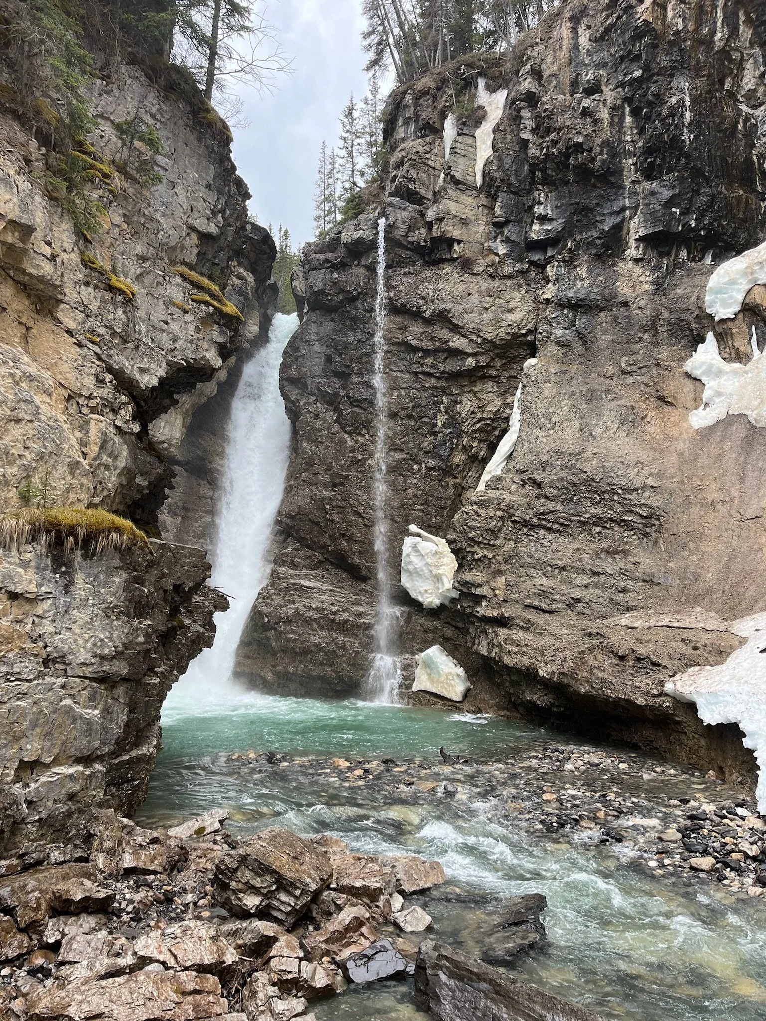
We biked the rather narrow but thoroughly railed trail up Johnston Canyon and came to this falls at the end.
There are trails literally everywhere. I’m a little mixed up on where each of these are but roughly, amazing mountains in Banff, beautiful lakes in Jasper. We planned to bike around from time to time, but we really got into it here. It didn’t hurt that on the way into Jasper, less than 10 Km from the campground we got an “Additive (DEF) System Fault, Starts until emergency operation: 10” message. It was Friday afternoon so we tried to schedule an appointment in 3.5h away Edmonton for Monday and enjoy the weekend there in Jasper. We biked everywhere and loved it. In Banff we discovered that Megan’s bike tires were not up for the trails we had been trying to tackle, so we tried to get some knobbier for her and found the 650b size to be less common than hoped for. Thankfully in Jasper we found a shop that had the tires we needed, and a separate shop that was willing to swap them onto her rims. While we could have done the swap ourselves, getting the bead set on new tubeless tires, in the rain on the sidewalk wasn’t really what we wanted to be doing if we could avoid it. The friendly folks at Vicious Cycle and Snow took care of it in two coffees. Then we did 20 miles of beautiful lakeside trails.
Square marshmallows = Megan’s perfect Smore.
There are so many lakes and waterways in the Jasper area right next to town and the campground. it’s spectacular! A portion of the road between Banff and Jasper is the Icefields Parkway. There were many pulls offs for little hikes to lakes and waterfalls as well as our first opportunity to see a glacier! Some of the photos above and below were taken on that road.
We have seen lots of wildlife already, elk in the campgrounds, the porcupine on the left at lake Louise right of the trail, the bear in the middle in Jasper on a bike ride and the sheep on a bike ride on the closed section of the 1A road in Banff.
On our final day in jasper we got ready to drive to Edmonton for a service appointment the following day. So as not to cost an extra start (remember, the van will only start 10 more times), and because there was a coffee shop in town we really liked, I drove around the block while Megan picked up some caffine. As I did, the warning that had occupied much of the dash dissapeared. I searched for it deeper in the menus and nothing, no errors, start and stop it as you feel. So when Megan got back in we sat there for a few and tried to work out what to do. We tested starting and stopping it, no errors, all good. After much deliberation and perhaps half the coffee Megan had just procured, we decided to try to get a site in Banff for two more nights. Rather than drive away from service centers, this would allow us to stay within 4 hours of two, and more time for the system to prove itself to us. And two more nights in Banff, of course!
There might be more waterfalls than trails. I guess all that snow has to go somewhere!
After a beautiful and our kind of relaxing time (with no warning lights on the dash!) in this spectacular collection of National Parks and public lands, it was time we headed northwest to Dawson Creek, BC; the start of the Alcan Highway. The intent was to leave from Mile 0 on the 1st, however a package of water filters for our fresh and recirculating systems (that we had hoped to have back in Seattle…) was delayed a little further, forcing us to slow down and take in more of what is around us before moving on. Darn! =P Megan found an area not too far away called Tumbler Ridge with lots of hiking, waterfalls and boondocking spots.
Below Updated 6/11/24
The Tumbler Ridge UNESCO Global Geopark (as we learned its full name was) area was incredible . So many trails to choose from, many of which lead to lovely waterfalls. We stopped for several on our way to the largest falls in the area, Kinueso. About half way there we decided to look for a camp site and continue to the falls in the morning. Megan identified a viable spot not far ahead and we headed for it. We took the turnoff onto a dirt (rather than gravel) road and got out to walk it when we got to large puddles and overhanging trees. It was worth it. We carefully made our way through the puddles and tree limbs and found one of our favorite camp sites so far, right on the river. We liked it so much we stayed a second night before continuing to Kinueso.
Here, Scout enjoyed many walks, we dipped our feet in the cold river, and cleaned up the pallet someone left by having a lovely fire. Very occasionally a jet boat would go screaming past, politely waving. The next day when we got to Kineuso Falls, we realized where they had been headed, to the base of the falls. It’s 70 meters (229’) tall or 62’ taller than Niagra. There are trails all around it, above and below, so we didn’t feel we missed out on any views.
On the way back to Dawson Creek we hiked to some caves, alpine lakes, and wouldn’t you know it, more waterfalls!
On our drive back from Tumbler Ridge we were notified that our water filters had arrived at the campground, meaning and we could begin the Alcan Highway the following day! We did a little grocery shopping and got ready for the drive. The first hurdle, working out who’s next in line to take their photo at the start of the Alaska Highway sign! Up until this point we have run into many people going many different ways, but here two main destinations emerge. If you’re here, you're very likely either going to Alaska, Tuktoyaktuk or Prudhoe Bay, and mostly the first.
The first stop on the Alcan was for a disused section of the road featuring a curved wooden bridge from the original construction of the road. We stopped to take some photos for ourselves and ended up taking photos for and chatting with two German Canadians (I’m a little confused myself) on motorcycles headed to Alaska. It’s always nice to meet likeminded folks when you travel.
Yes the lens adds some fisheye, but the bridge is also a bit curved.
I should also note somewhere in here our sunrise/sunset times as this will begin to get interesting around this latitude. Currently the sun rises at 4:30am and sets at 9:30pm. 7 hours of darkness.
On our drive out, Scout spotted a Porcupine so we hung out for a moment. We also two moose! We only got a bad photo of one of them.
Our planned stop for the night was at Muncho Lake Campground. Despite having no reservations and it being fairly full, we got a sweet spot right on the lake and stayed for two nights. It was too windy to paddle, but we unpacked and inflated the paddle board just so we could be ready as soon as it died down, which it did the following morning.
As Megan Paddled out for the first time, our neighbor told us that a grizzly had about an hour ago walked through camp and paddled across the lake himself.
How deep is the lake you might not be asking? 732 feet. 1/2 mile across.
The next morning we paddled again and then headed for an afternoon/evening at Liard Hot Springs. The hot springs are a BC Parks run campground and hotsprings and the site of arguably the worst bear attack in recent history. Maybe don’t read up on that on your drive out. We didn’t take any photos of the pools themselves out of respect for others, but the ones we did take are of the short walk from the parking area to the pools. The boardwalk covers a marshy area flowing with nutrient rich warm water that never freezes in winter, drawing in all manner of wildlife. This was one time I was pretty stoked to not see a bear though.
There is a moose in the middle of this photo.
On our drive back to Muncho lake we saw no less than 10 porcupine! All three of us watched one eat a flower. It was very cute. We camped our second night at Muncho and then headed for Watson Lake in the morning. On that drive we saw five black bears, a heard or two of bison, and several deer. Summer is here, and so is the wildlife! It was also on this drive that we got a rather shocking shower of rocks from a semi heading the other way. 4 new chips. We used all the chip filler we had on us and picked up more for backup. nothing is growing so at least there is that!
One of the things Watson Lake is known for is its signpost forest. It started when in 1942 a signpost was damaged. The person assigned to repairing it included a sign of their own pointing to their hometown of Danville Illinois, and the idea snowballed from there. We didn’t add a sign this time, but perhaps passing through in the other direction we will. The number of signs here was rather astonishoing. Nothing quite captures the full number.
At this point the sun rises at 4:15am and sets at 10:50pm. 5 hours and 25 minutes of “darkness” but it doesn’t really get dark anymore. We headed for a boondocking spot and found a nice one near the river and some beaver dams.
From here we headed to Whitehorse, the capitol of the Yukon Territory. Megan found an amazing hot spring/spa just outside of town and if you stay at the campground, you get a discount. Sold! We stayed in the campground for a night and spent the following day going between the spa and Scout. It was very relaxing. There was even good coffee to walk to. While we were checking out, we got talking about where we were headed and it was suggested that if we could make it to Tuctoyaktuk for the solstice, it shouldn't be missed. We had planned to make it into Alaska first, but this kinda works perfectly in a few ways. This is where we would start from, and we do have more than enough time to get up there.
Scout loves sitting on paperwork and sniffing her new environment. This is at the campground for the Hotsprings.
She inspects the vehicle more often than I do! We got the four toe bean purr of approval.
We boondocked the next night at a nearby spot so we could head into Whitehorse proper the following day. We got our tires rotated (I should have done this some time ago), got some serious bug repellant, went grocery shopping, and filled up on fuel once more. We have about 500km or 300mi before we hit dirt, but this was our last opportunity to purchase supplies in a well supplied town of any size. From there we drove about 200km or 125mi and found a little spot on the river for the night.
The next morning we continued to The Five Fingers, a section on the Yukon River where it is divided into 5 narrow channels, only one of which is navigable. We hiked out and got some lovely views.
We continued on, doing about 100km or ~60mi for the day after a lovely late start. We followed a dirt road off the highway and found a nice large clearing to camp in that was relatively bug free. All three of us went for a nice long walk and then we settled down for the evening. We have been trying to train Scout to hike with us and having more success than you might assume. She prefers to have her paws on the ground, but has been doing impressively well following trails. She does of course sniff everything and has no pace to speak of, but it is such a joy to experience it all together, however far we make it. Sometimes her route choice is a little sketchy, but to be fair, she may have learned that watching us.
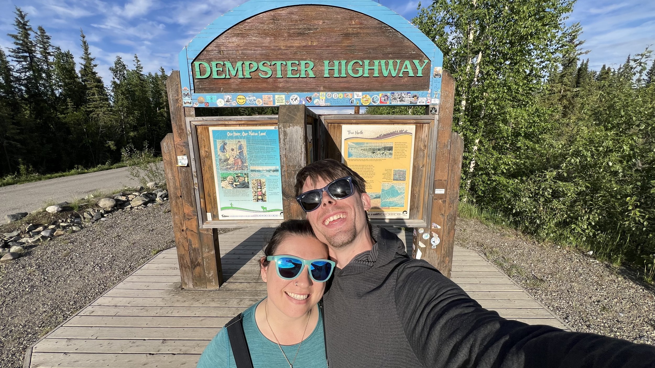
The next morning we headed for the start of the Dempster Highway.
Construction of this epic 740km (460mi) dirt highway built on permafrost began in 1959 and was opened to the public in 1979. It connects the towns of Dawson City, Yukon to Inuvik in the Northwest Territories, crossing through the Arctic Circle. Or final destination goal is Tuktoyaktuk, on the Arctic Ocean, another ~50mi beyond Inuvik. That part of the road was a completely separate project that began in 2014 and was completed in 2017.
Megan showing off our pre-Dempster dirt accumulation. We anticipated it getting much worse.
Along with the usual considerations on any road trip, on this road we knew we had to pay particular attention to tire wear/damage and fuel stops. The gravel road is known for destroying tires and sometimes rims, and the fuel stops are spaced out so the average fuel tank can make it between stops, but no more regular. It used to be advised that two spares be taken, but more recently the advice has been one and a good puncture kit. We opted for the latter, plus an extra puncture kit, air compressor, and as a final resort, a few cans of fix-a-flat. During the build we swapped the diesel tank for one roughly twice the size (24gal - 47gal) but on this road, we still stopped every time it was offered as it gave us more flexibility and confidence.
We started the drive on 6/13/24 and our goal was to be in Tuk for the Solstice on the 21st (or the 20th depending how you’re counting it) and so were in no rush to arrive. We took it easy and enjoyed every moment, only moving along as we felt compelled to.
First night on the Dempster; pasta and a fire in the daylight (because there is no darkness) next to the Klondike River.
Roughly an hour drive time from the start we are at Tombstone Territorial Park and the views are already impressive.
At this point our watches are telling us there is one hour of “darkness” but you can’t tell by looking outside, it’s indistinguishable from daytime. We continued on, enjoying the slow pace so much, it seems we even slowed in taking photos a bit.
This road is the only way up and back, so if it closes, for an accident, fire, bridge damage, any number of things, you must be self sufficient for that duration. A vehicle headed south flashed its lights to get our attention and let us know there had been an accident up ahead and the road was indeed closed till at least the morning. There seem to be more motorcyclists on this road than cars, trucks, vans and semis combined, and one of them had collided with a semi truck. Sadly, he did not make it, and a full investigation was in process. It was a stark reminder of why we are out here. Life is unpredictably short.
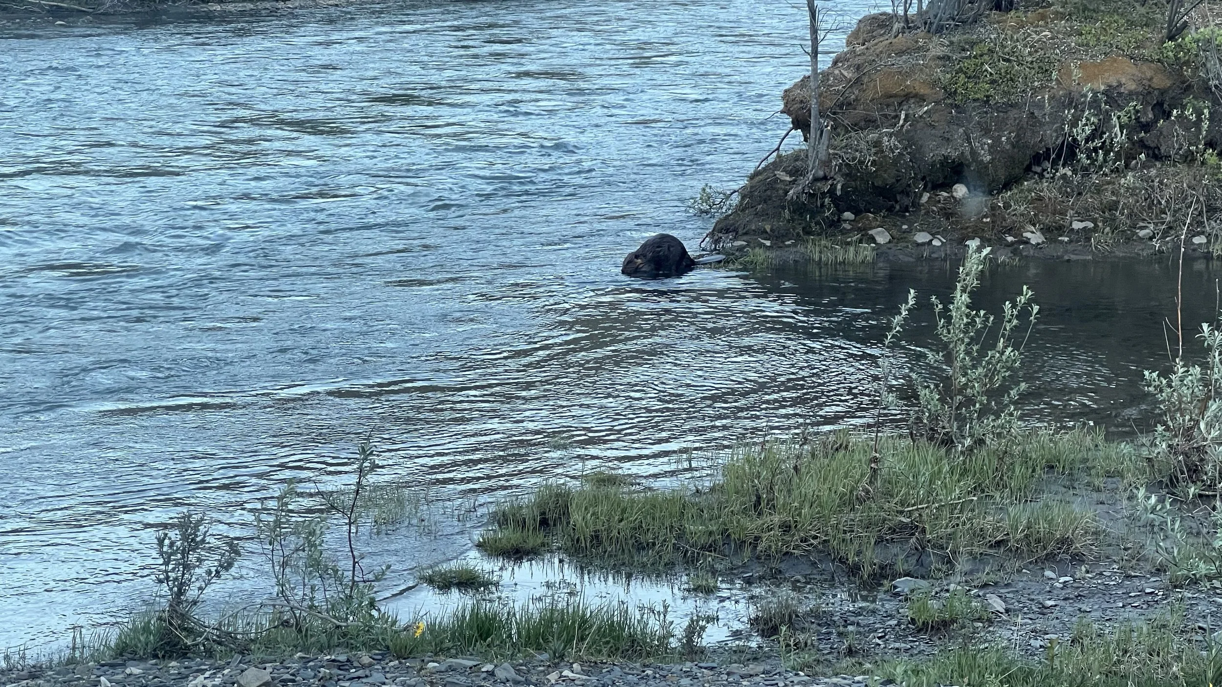
One of our favorite moments on our drive up was getting to watch a beaver go about it’s daily tasks as if we weren’t there at all. We had parked for the night at the end of a dirt road that terminated in a rocky beach between two ponds. We had just lit a fire when it came swimming slowly past, perhaps 20’ away, on its way from one pond to the other. It did a little dive and then popped up again to swim through a little channel in the tall grasses. It swam all the way across that pond and got out of the water. We thought that was the end of the experience. Next thing we know, a roughly 10’ tall tree is shaking rather violently until it fell into the pond. The beaver got back in the water and proceeded to munch on its leaves and limbs for about 30 minutes before leaving the remaining tree trunk floating and swam back the way it came, towards us. It did the same little dive in the same spot and continued past us to presumably its home on the far side of the other pond. The next morning while enjoying coffee on the roof we saw our little friend swim playfully by, do a u turn, slap it’s tail on the water impressively loudly, and go strait into a dive and then immediately pop up and stared directly at us as if to say “Just making sure you guys are aware, I’m a beaver!" Next thing we know, there’s a second beaver swimming with the first! It sounds like seeing a beaver is a rather rare pleasure, and witnessing all that is just unheard of. We are stoked we happened to be there at just the right moments. So cool!!
By the time we came to where the accident had been, the road was open and we pressed on with an even more acute appreciation for this incredible opportunity.
We passed through a few places referred to as townships or villages, usually a small cluster of buildings with a fuel pump in a c-train container, with a Starlink dishey on top to process payment. Sometimes there was a mechanic, sometimes a hotel or campground. Even more rare was a convenience or grocery store. There is a good amount of info about the various amenities available at each in the guides and pamphlets available along the way, but there was still often a question of wether it was still in operation this year, this time of year, or the particular hours we might be coming through. Some places stayed open much later than we are used to due to the constant sun, and some were open seemingly as they felt. Fuel stops were pretty reliable though. Below is us having reached one of the more established “towns”, Eagle Plains, which had a rather serious mechanic shop, fuel, hotel, campground and restaurant. Everything says there’s a grocery store there, but not this year. All good though, we were well stocked.
Not long after Eagle Plains we crossed into the Arctic Circle! It is here that our watches got very confused and no longer listed a sunset or sunrise time, as we were so close to the Solstice. It’s all sun, all the time. We knew that would be an odd thing to experience, but no amount of thought and conceptualizing prepared our circadian rhythms for the change. We found ourselves waking up mid day, having lunch at dinner and not knowing what to do with ourselves in the evening. Are we tired? What is going on? Shutting out all the light can only do so much. Melatonin production isn’t an on/off switch I guess.
From here, the next “big” town is Inuvik. But we had two ferries to catch before then. During the winter it’s an ice road across, but here, as you may be able to tell from our clothing, it’s very much so summer. There were patches of snow here and there, but air temperatures fluctuating between 60ºF-80ºF (15ºC-27ºC) and very much so liquid water on the rivers. The first ferry was cable operated, pulling itself back and forth between the banks. We happened to be the only vehicle on it.
In between ferries we found a very large spot to boondock, right on a flowing bit of lake/river. Our water tanks were about half full and we were in need of showers. Part of the design of our water system was to be able to safely suck water out of a decently clean body of water and filter it into potable water. We built that in, but never tested the function prior to needing it. We’re stoked to say it works wonderfully. That was quite a joyous moment, for multiple reasons!
As we continued north the temperature slowly dropped, but remained solidly above 50ºF (10ºC). No pipe freezing worries yet!
We took the second ferry the next day and it was on a much wider section of river. We were joined by a few motorcyclists, a work van and a fuel tanker. This is how all fuel makes it way up. Supplies can fly, but every drop of fuel takes two ferries.
Within the next few days we reached Inuvik and were excited to go to a grocery store for some of the more perishable foods we were running lower on. We had loads of ramen and dry goods for any eventuality, but it was nice to get a little more variety. We stayed at a campground just south of town and were rather surprised to find 10km (6.2 miles) of lovely paved road between the airport and town. We checked out the visitor center and the interpretive center, but only the former was open. There we were given certificates for having crossed into the arctic circle. When we mentioned that we had Scout with us, they were excited to make her one as well. It was very sweet.
At the campground there was a lookout from which you could see where the mountains ended and the delta we were headed for began.
We spent a good bit of time walking around town, seeing how it was constructed. As it’s all on shifting permafrost the buildings are on leveling stilts and plumbing runs are in heated dog house sized corridors (also off the ground) to keep from freezing and sheering with the temperatures and the movement. During the day it was in the 60ºF-70ºF (15ºC-20ºC) range and at night it didn’t get below 50ºF (10ºC), but it gets to -20ºF regularly in the winter and -50ºF on occasion. At those temperatures it doesn’t really mater if you’re talking ºF or ºC. We also had our first meal cooked by someone else in quite some time, which was a lovely experience! We had local caught White fish and met 4 motorcyclists that had just come back from Tuk with wonderful stories of that adventure and many more. One of them was even a dive guide/instructor. What are the odds! We spent two nights at this campground before making the final push to Tuk the next morning (6/19). These last 50 or so miles were different from the previous hundreds in that the gravel was much more loose with grading happening as we drove creating loose ridges that we had to cut back and forth over as we came to the grading machines and others traveling on the road. It took a bit more focus from both of us and photos took a bit of a backseat. It took about 3 hours for us to cover the distance, but we made it safe and sound, nary a puncture or other mishap! We were very thankful, but didn’t rejoice just yet as in truth, we were only halfway. We still needed to make it all the way back to pavement. But that’s getting a bit ahead of ourselves, we have plenty of time to not think about that.
Scout isn’t a fan of these photos, but we keep trying! She’ll appreciate them when she’s older. =P
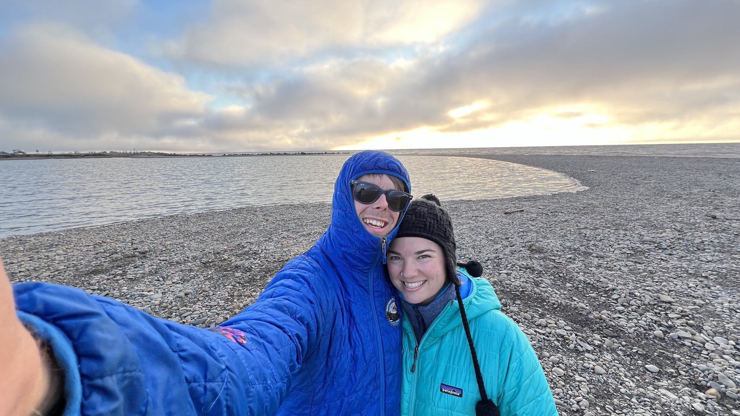
In those last 3 hours, the temperature dropped into the 30’s (F) We turned on the heating pads for the under vehicle plumbing to keep the fluids flowing. While expected, it was still an impressive change over such a short distance! We stopped first at the visitor center to learn anything we could about the town and to pay for a campsite for a couple nights. The only things in Tuk dedicated to tourists are the Visitor center, a gift shop (that was closed the whole time as the proprietor had left town to watch the Oilers [hockey team] win) and the 16 or so site camp ground. The first thing we were told was “don’t believe anything you read on line” so take what I’m saying with a grain of salt if you plan to make this worthwhile journey. It could all be different next year. We parked up and went for a walk to get the lay of the land. The whole town can be walked within a couple hours, and we did so. Oh yea! WE JUST DROVE TO THE ARCTIC OCEAN!!!
Above us in the distance are a few Pingos! Tuk has the highest concentration of Pingos anywhere in the world. They are hills with hearts of ice!
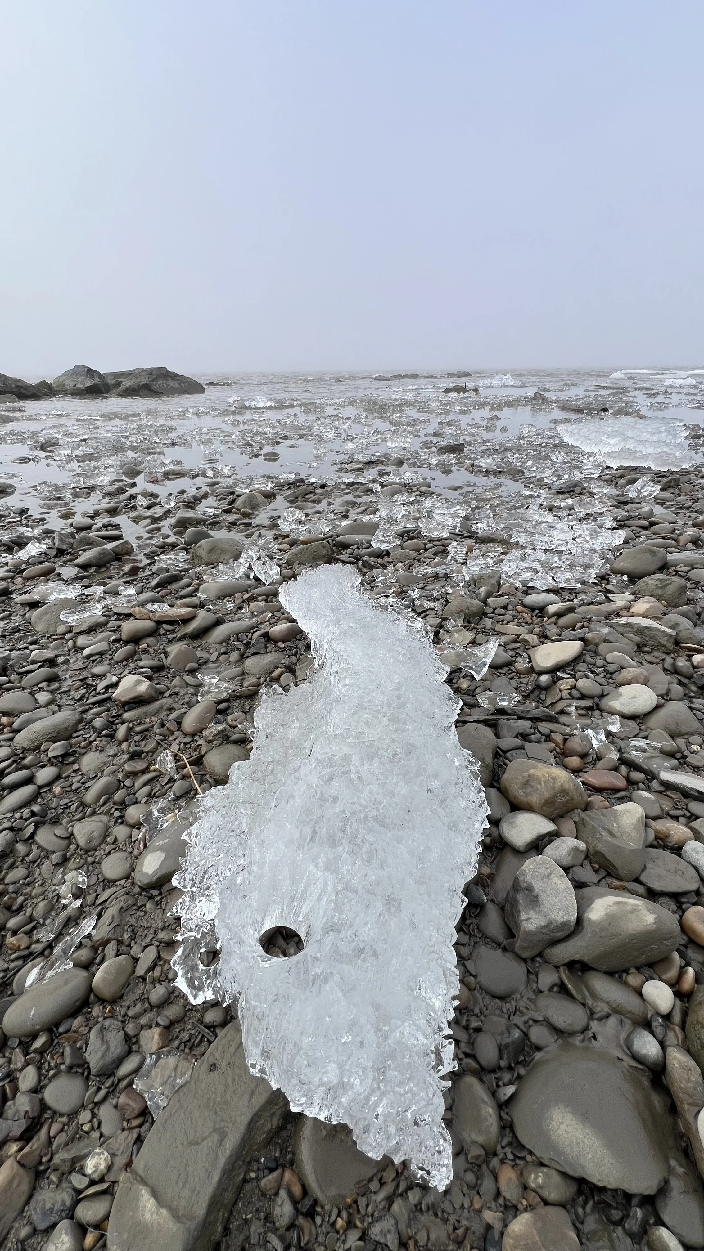
We couldn’t have timed things more perfectly as when we arrived there was still ice on the ocean and the bay! The following morning, it was all gone.
No ice but still just as cold!
While Tuk has always been our northern most goal, we came on these particular days for the coincidence of the summer solstice, full moon, and indigenous peoples day within 24 hours of each other. While the tilt of the earth and our particular location meant the moon was never visible, the sun always was, even if obscured by dense clouds part of the time. Attempts of getting a timelapse of the sun doing circles around us were less than 360º successful, due mostly to weather, I’m pretty stoked on what we did capture. It was absolutely incredible to witness. If we thought our sleep schedules were messed up before, ha! This was worth it.
Another plan of ours had been to take a dip in the Arctic Ocean. On that first walk we took after we arrived we ran into three young girls (perhaps 7-10 yeas old) who asked us two direct, but sweet questions. 1) Are you tourists? 2) Are you going to swim? We said yes to both, and that we were planning to go for a dip probably tomorrow. Then they asked if we wanted to join in their marshmallow roasting over driftwood (because yes, kids under 10yo are capable and trusted to start a fire in the Arctic!). When they saw us the next day, they asked the same second question. “So did you??” We had to say “Uh, tomorrow, for sure‽” So on the third day we felt the coinciding pressure of our genuine plan to submerge ourselves in the Arctic with the knowledge that three little girls might ask us again and we didn’t want to say no! So this was the morning! We got dressed for the occasion, cranked the heater, and pulled the van as close to the swim beach as possible. When we couldn’t handle the heat anymore, we made our way to the shore (and left the heater running of course!).
We expected to be running full tilt back to the van for warmth, but to our surprise we strolled back as if we had all our warm layers on. A local man walking past asked how it was, poorly stifling a smirk. We responded with the enthusiasm one can only find after achieving a goal together that has seemed distant for so long. “IT WAS AMAZING!!!” Of course, we had to take another photo at the Arctic Ocean sign with our new found cold tolerance.
Next up were the Indigenous Peoples Day Celebrations! All we really knew was that it started at the baseball diamond at 2pm and that we were welcome to join. We arrived slightly early, as usual, to find nearly no one there, and so took another leisurely stroll around the town. As we made our way back we noticed more vehicle traffic and families helping elders into vehicles and onto ATVs (a common method of transport in the town), all headed for the diamond. On stage were a group of younger folks demonstrating their native games and explaining the real world purpose of each. All games were centered around teaching survival skills from a young age. Some simulated cold situations and pushing through the pain, others were focused on the unpredictable strength of the animals they would be hunting. All were done with laughter, smiles and a community spirit we have not experienced before. It was something special.
Food was being cooked stage left for locals and tourists alike, and several times elders came by to make sure we knew we were welcome. Then came the blanket toss! We assumed it would be a demonstration, but we were wrong! It was announced that if they didn’t have 30-40 people to participate, they couldn’t do it. A slow trickle of locals made their way to the stage and the announcement was repeated. Eventually I got up to join, Megan holding my phone to film; but the announcement was made again and she jumped up too. Eventually all hand holds were filled and we were guided through the technique. Straight arms, lean back and follow the leaders commands. Once he deemed us ready, a kid climbed to the center and we began tossing them skyward. We made our way through a slow stream of bouncers until everyone’s arms gave out. I can’t put words to how positive an experience this was, and I don’t just mean throwing children! (can I say that?) We connected with another visitor who we noticed was taking pictures of the activity as her husband had joined in as well. She took and shared the video below. Thank you Darcy!
Afterwards, kids played in the dirt together and shared everything with an infectious enthusiasm. The whole experience of the day was beautiful and beyond our expectations. As people slowly dispersed it was announced that there would be drum dancing at Kitty Hall at 8pm. We visited with Scout for a little bit before heading over. We arrived shortly before 8, and were told they had just begun setting up. We had been joking that everything from store hours to event times were on Arctic time, similar to Island time, but we were corrected. It’s Tuk time, which is defined as 1.5-2 hours behind the scheduled time, and today there was an Oilers game, so all bets were off till the game was done. We chatted with our new friends Darcy, Josh, Hannah (their daughter) and Ellie (their bernie-doodle dog) as well as the locals who showed up at the early end of Tuk time. The drum dancing began shortly before 10pm. We learned that drum dancing is not only a method of passing stories down through generations, but also a form of exercise and staving off the bitter cold.
The dancing ended near midnight with everyone joining in. Afterwards, local musicians played the night to a close. Walking outside into the midnight sun was the final touch to an incredible day. We toyed with the idea of continuing our drive south at that point, but stayed one more night to soak in our last Arctic views.
The next morning we rose at an almost normal time and began the long and dusty drive south on the Dempster. We took roughly a week on the way up, and two days to get back. The one night we spent on the road back we woke up to a rodent or two of some sort scurrying around the van’s undercarrage. We popped out and hoped our and Scout’s presence would scare them off, but they just stood there on their hind legs as if to say, “Where’s the food‽”. Knowing how many hoses, wires and other important connections were under there and having experienced that sort of damage before, we decided to head out and make our morning beverages elsewhere. They were persistent little guys!
Scout on guard.
We saw more wildlife on the return trip than we did on the way north, but there was rarely time enough to enjoy and to get a good shot. We did spend a little time rolling along with this cute bear as he foraged. He gave us plenty of time.
When we made it to Eagle Plains again we skipped the well established car wash in favor of one at the end of the dirt, but couldn’t help but share it’s rustic charm.
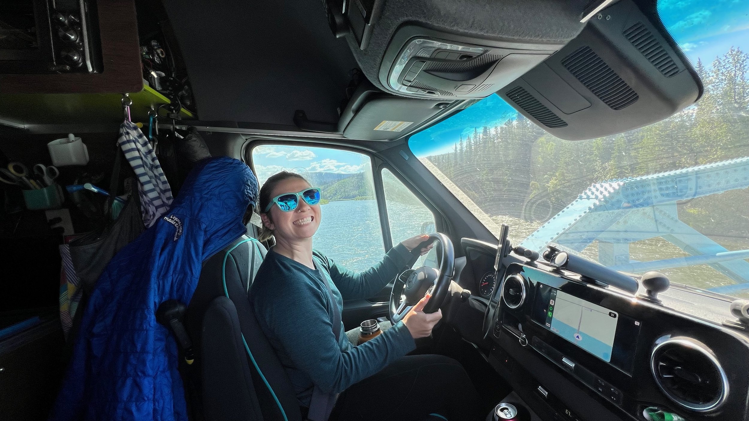
I drove most of the way up, and Megan the way back. Scout appreciated every minute of it.
Once we crossed the final bridge (Megan smiling in the drivers seat above) we headed for Dawson City. We were on pavement once again, but only briefly. We spent a bit of time in the rustic gold mining town, taking in its charm and a bit of pizza. Sorry to disappoint anyone, but we did not become members of the Sour Toe Cocktail Club. (As it sounds, a human toe in a cocktail) That’s a level of fun we were not prepared for. The pizza down the street at Pan of Gold was however, particularly terrific! We finished off with some ice cream and frozen lemonade before heading west. The north end of Dawson City is the Yukon River and on the opposite bank started the Top of the World Highway. We took the short ferry ride and were on our way! I’m certain it’s just another day for these ferry drivers, but seeing them navigate the changing current, wind and weight is rather impressive!
We weren’t certain what the road surface would be on the TOTW highway. It turned out to be a rather uneven, constantly changing, potholed combination of gravel and unmaintained pavement. We wished for the consistency of the Dempster again. But the views more than made up for it!
The next day we headed for the border crossing into Alaska! It was a very small checkpoint and only open for a few months each year. I think the officer stays in a cabin just up the hill. We had to stop for a photo with the sign of course. Scout joined us with her usual enthusiasm for these photos!
We continued heading west-ish, for Chicken, Tok and the (town of) North Pole! While completely a tourist trap, we had to visit the town where it’s Christmas year round. The street lights are candy canes, there’s a reindeer pasture, Santa is always ready to hear your wishes, and on break he can visit the Taco Bell across from his house. It’s a funny combination of things!
We continued on to Fairbanks. At this point we were pretty confident that the worst of the dirt was over and so decided to give the van at least a cursory wash. It needed it rather badly!
We celebrated with some draft root beer and other non-alcoholic options at the local brewery (Latitude65) after.
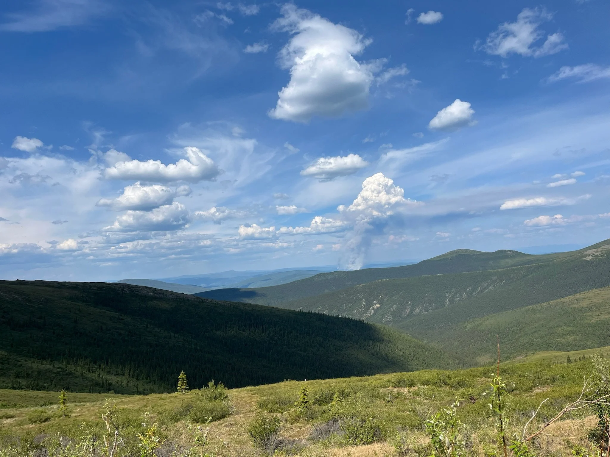
We have been monitoring the fire situations around us and have passed by just after or near several. More had just flared up and were making the air quality in Fairbanks quite awful. Megan was still getting through a bit of a cold that started on the drive back on the Dempster and the smoke wasn’t doing me any favors, either. We decided to spend a night in Fairbanks before continuing on. We found a spot to boondock on the university campus, and having found out that the Far North Museum (which is on campus) is currently restoring bus 142 (Into The Wild, Chris McCandless) we decided to watch it that night. The bus had been removed from its original final resting place during COVID as there had been too many rescue operations and deaths over the years to retrieve folks that didn’t take the conditions seriously.
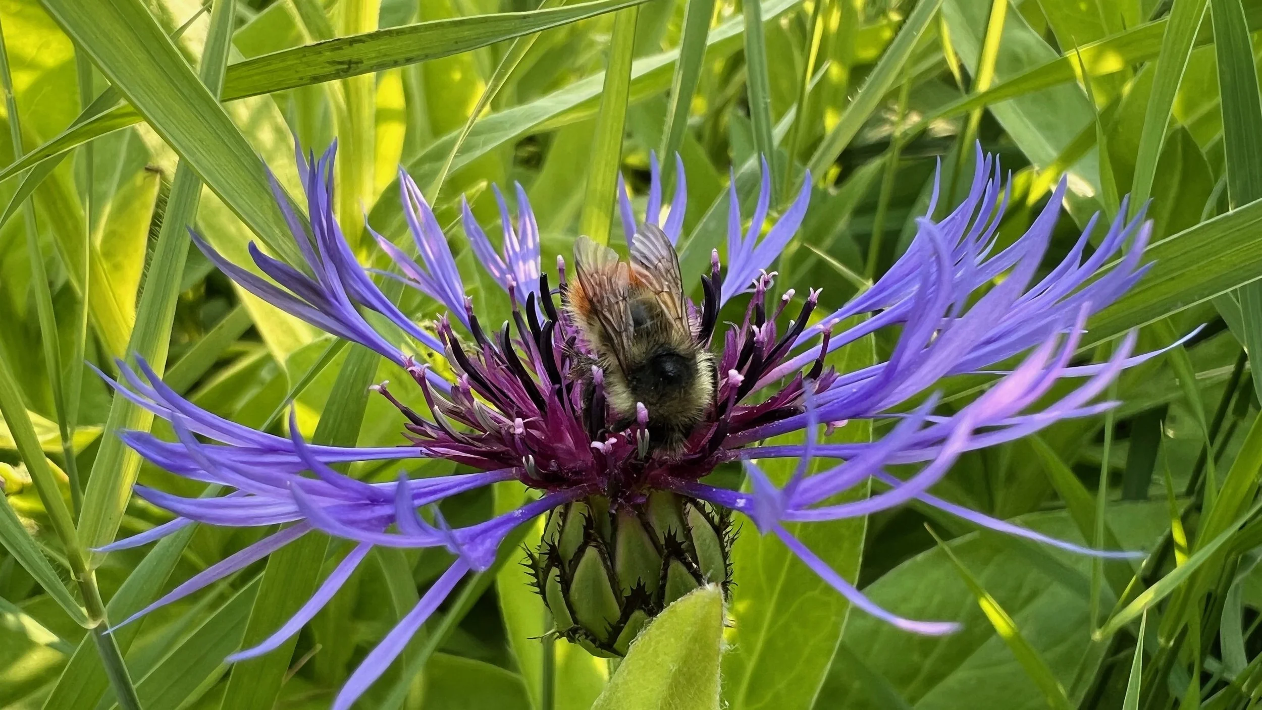
In the morning we visited the University’s botanical garden, which is the farthest north of any botanical garden. While still sub-arctic, they are within 100 miles of the arctic circle and their research into high latitude plants and varieties for home and agriculture is authoritative.
From there we visited the Fairbanks farmers market to meet an Etsy seller we have purchased from, at her booth. We picked up some cinnamon sugar and alder smoked stone ground mustard from her and then couldn’t pass up some rhubarb cinnamon jam from another vendor. Lunch wasn’t passed up either. We headed out from there, largely towards Anchorage and specifically away from the smoke. A short ways down the road we came to Healy and noticed a large brewery seemingly in the middle of nowhere, with the replica bus 142 from the movie parked out front. We stopped at 49th State Brewery for some food, root beer and photos. It almost didn’t feel right taking a photo in front of that bus, but thats what it was there for, chair and all.
After a wonderful meal and discovering a new favorite craft soda (The green one, Spruce Tips) we headed for Denali with hopes of seeing it ourselves. 70% of visitors to the park in the summer don’t, due to weather. We were in that percentage this time, unfortunately. But the mountains we did see were still quite impressive! We plan to make this drive again, heading north for the best angle and to increase our chances!
By the time the smoke cleared, we were most of the way to Anchorage. Along with packages to be picked up, our two most pressing needs were laundry and clearing all the dust from the dirt roads out of the back of the van. We knew the dust would be a consideration, but oh boy did it make it everywhere back there! We parked at a new favorite laundromat (they have an app where you can see the status of every machine to plan when to go in, see when your load is done and even add soaps and such when you start them. Fantastic!) Once we got loads started we began the process of removing as much dust as possible, while mid trip, in a laundromat parking lot. That is to say, we got a lot of it out, but the rest will wait till we are back in San Diego! Here is a before photo looking under the mattress with the hatch covers removed.
Despite sealing the through hulls, the dust found it’s way in! Only so much you can do with 1,000+ miles of dirt.
We pulled everything back there out, dusted it off with the air compressor, vacuumed out the rest, wiped the door seals and put it all back. In the process we discovered an accidental mosquito trap we had created with the electrical compartment cooling fans. It was quite the graveyard!
When all was complete we had just enough time to swing by Dive Alaska to do a vibe check and see what their availability might be. We learned that all guided diving is dry suit only, which is unfortunate for us as Megan is a wetsuit diver (with warming vest!) currently. But, we were offered a dive briefing if we wanted to meet up on an upcoming trip and go our own way, knowing there was a large group in the area if things went awry. That trip was in the Seward area in roughly a week, over the July 4th weekend and more or less required staying at the campground associated with the water taxi that we would need to take. Amazingly we got a spot! So we had about a week before we would need to be in Seward and chose to explore the surrounding area in our favorite aimlessly focused way. Now that we had a plan and a tidy van, we decided not to make more dishes and to enjoy someone else’s cooking! We had heard Moose’s Tooth had good pizza and root beer on tap to boot! So off we went. A pitcher and two pizza’s later we were ready for bed. We headed to the nearby Cabela’s as they offered free overnight parking! Not pretty but a perfect reset day spot.
Scout reminds us that wherever we are can be enjoyed, from parking lot to mountain top.
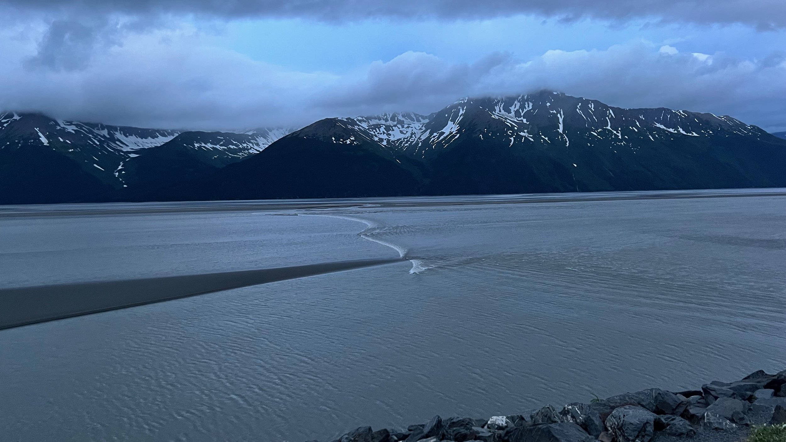
The next morning we headed southeast of anchorage along the Turnagain Arm. We found lots of pull offs and just enough RVs to be comfortable spending the night, and not so many that we felt crowded. It was here we learned about the bore tide! Apparently the Turnagain arm has the largest tide in the US and due the the geography, the tide comes in in one single wave that moves at about 5-6 miles an hour (~8kph) from the ocean to the river at the other end. Surfers gather to catch the wave on its highest days which can exceed 6 feet (1.8m) and so do the beluga whales. We spent a lot of time staring at the water, the mountains, the waterfalls and a bit at the inside of our eyelids. We also scoped out a bike path that lead from Bird point to Girdwood, a small ski town at the end of the Arm and made plans to ride it in the near future.
The Bore Tide
We are always looking for excellent coffee shops and we found one on the arm called Birch and Alder. They make amazing food and were smitten with Scout. They gave her her first puppuccino ever and she loved it, and so did they! We know this is not great for a kitties diet, and so did she, but in her case it’s better than fish for her tummy and she enjoyed it with restraint! Don’t worry!
We enjoyed the arm and bore tides for a few more nights, moving spots most days for a fresh perspective. After looking across the Arm for so much time though, we wondered what was on the other side and if we could get closer to any of the waterfalls. We found ourself headed to the town of Hope and are so stoked we did! There were more pull offs and off shoots to park up in each night and the cutest little town. So small it doesn’t even have a gas station! We love it.
We spent a lot of time here as well, several days of relaxing on the less crowded side of the Arm, with plenty of time for walks with Scout and deep conversations about the near and distant future. It also helped to be in a quieter area for the Fourth of July as fireworks still scare Scout deep under the blankets. It was here we decided to take on some personal challenges in the coming years time, as well as the coming days. Megan set her sights on completing her first triathlon, and I on a gravel bike race some time after. For the next few days though, we decided on hiking to Hope Point and rafting Six Mile Creek.
Our first stop on the way to our hike was for some coffee at Turnigan Kayak & Coffeehouse. We learned there was a local river guide who made these fun bike component flowers. He wasn’t in town anymore, on a grand adventure somewhere, but everyone had flowers and other cool art made of bike components and remembered him fondly.
We decided to go rafting on the 4th. Megan had been rafting in Washington before, but this was my first time. I was a little apprehensive, but we knew we picked a good company to go with, Flow AK. They were professional, fun, safety conscious and the only rafting company based in Hope proper. Once we were all geared up they drove us to the put in spot and gave us a safety briefing. To get in the raft we had to swim for it and be pulled in, so we all knew we could while the guide kept the raft right side up. While the water was cold, the drysuits were very effective, and the practice confidence building.
Megan was the first back in the raft and proceeded to haul the largest member of our party neatly back in the boat with our guide Garreth cheering her on.
We got everyone else in and were on our way. 6 Mile Creek is rated at class 4 and 5 in different sections and depending on water level. We were told we were hitting it right about at its peak. Megan and I were seated at the front of the boat, with me in the middle. While Megan was paddling her heart out I had little to do but hold on and enjoy the ride!
We had an epic time and knew immediately we needed to go rafting again the next chance we got. On the ride back to the shop we heard that one of the two restaurants in town had a hip hop and harp duo performing that night. It sounded like the perfect way to end the day, on top of having someone else cook for us. We were not disappointed! It was Kuf Knotz and Christine Elise.
We were having so much fun in Hope, we didn’t want to leave. But we had an RV site booked in Seward and a plan to go diving for our first time since Seattle. So we headed off towards Seward to see what awaited us. Unfortunately Megan’s sinuses had been acting up and continued to do so when we arrived, so we called off diving to be safe. Instead, we biked around town and got the lay of the land to plan our next steps. We stopped by where the famous Iditarod begins, and walked the coastline, saying hi to both sea and river otters as we went.
The guides at Flow AK had recommended a hike in Seward that sounded very interesting called Caines Head. During WWII a fort was built out on a point a few miles out of town (Fort McGilvray). Since then the forest had reclaimed the land, but parts of it were still accessible. The difficulty was that the hike had to be timed with the tides, as it was along the coast where the coast met the cliffs in places. It was recommended as a multi day hike due to distance and the issue of timing it with the tides. But with Scout in the van, a hefty amount of determination and the perfect extra low double tide the following day, we decided to do it in one day.
Once we made it to the fort and had explored its underground passages, we had some choices about where to go next. We could return the way we came and wait out the tide for a good few hours, or keep moving and do the full loop, with the option of an alpine offshoot along the way. Of course we decided to keep exploring. On to South Beach! The trail there was a beautiful departure from the equally beautiful coastal trail thus far, with many waterfalls, exquisite moss carpeting and the occasional fort ruin peeking out through the trees.
We reached South Beach and continued on into the mountains, criss crossing streams and waterfalls as we moved upwards.
Once again, we had the choice to head back to the beach for the hike back, or continue up, but we didn’t come here for the easy route. Up we went!
We enjoyed some time at the top with a beautifully misty view before making our way back down. We couldn’t have timed getting to the beach any more perfectly; the tide was just heading out. We stopped by a waterfall to filter some water and continued back to the van. By the time we arrived we had done 24.5 miles and over 4,000 feet of elevation. Our legs were toast! We managed to get the van to a restaurant and crawled ourselves in for some well earned dinner. We shared some local caught fish n’ chips and a pizza. Pretty sure we finished it all in one go.
We were initially planning on heading out the next day, but we were loving Seward. We didn’t want to leave here either. Megan found a wildlife / glacier viewing charter that sounded amazing and we booked it for the next day. A goal of ours has been to make it to as many of the national parks in Alaska as we could, many of which aren’t accessible by vehicle. This trip would take us into Kenai Fjords National Park, and we were elated. Trips like this are always a bit of a gamble in that you never know what you’re going to see, but in the end it surpassed the expectations of everyone on board, captain and crew included! It was certainly a trip for the eyes, and less so for the camera, but some of these shots do manage to capture a small percentage of what we experienced.
We were immediately greeted by some otters having a little meal, and then by a pod of Orcas, then Humpbacks and fin whales, all swimming together! As we headed further out we saw another pod of Orcas and Stellar Sea Lions. We turned in to Northwestern Fjord, towards Northwestern Glacier


